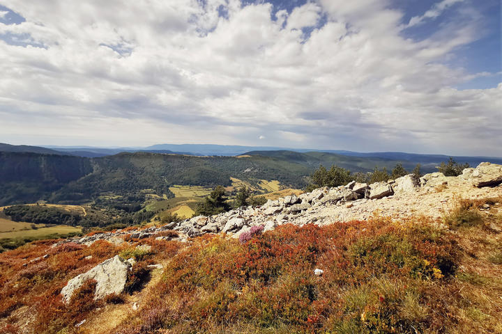
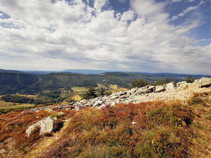
Itinéraire de randonnée "le Bez et suc de Montat" - Borne
The hike starts at the Col du Bez which is located on the watershed between the Atlantic Ocean and the Mediterranean Sea (the line between the two valleys is the watershed and separates two drainage basins).
It is at the Col du Bez that several hiking trails meet : the GR 4, the GR 7, the GR 72 and the GRP Tour de la montagne ardéchoise.
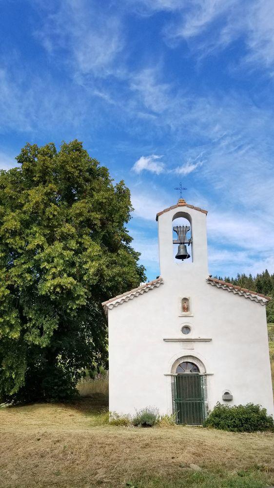
1. Take the path to the right of the chapel. Follow the red and white markings.
2. At the crossroads with the dirt road, turn right (uphill).
3. Leave the wood through the gate and continue on the path slightly to the right. The path runs alongside the road. Then continue on the path below the road. Leave the wood and walk along the D239. Pass the signs for the Forêt Domaniale and the Col du Pendu. At the hut, continue on the path along the road (the rightmost one).
4. Exit onto a tarmac road, walk a few metres and then take the first road on the right.
5. At the sign "Le Buisson", take "Le Bez (5 km) direction Masméjean (2,7 km)", follow the yellow and white markings. Turn left when you reach the dirt road.
6. At the sign "Suc de Montat", follow "Le Bez 4,6 km".
7. Turn right down the path.
8. Turn right onto the D19 and head towards the farm. Cross the bridge and take the first left.
9. At the sign, follow "Le Bez 2,6 km". Continue straight on.
10. At the sign, follow "Le Bez 0,3 km".
Période d'ouverture
All year round.Subject to favorable weather.
Facilities / Interests
Downloads
Trace GPX de la boucle randonnée pédestre Le Bez et le Suc de Montat
Equipements
Car parkServices
Pets welcomeRubrique
SportActivites
Pedestrian sportsHiking itinerary
Gratuit
YesNear
Source des données

Données mises à jour le Mar 21, 2024 00:30:34


