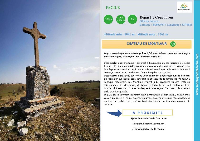
Itinéraire de randonnée "Château de Montlaur" - Coucouron

Départ : place de l'
07470 Coucouron
Telephone : 04 66 69 09 37

During this walk you will make gastronomic, historical and geological discoveries.
1. Go down to the lake following the tarmac road, marked in red and yellow.
2. Follow the water on the left and go up on the left in the wood to Olpillère.
3. At the intersection "Croix du Bouchet" go straight on, then cross the road and go to the hamlet of Montlaur : a rock topped by a cross dominates the houses.
4. At the crossroads, at the exit of Montlaur, follow the path due north which leads to Coucouron by cutting through the fields, yellow and white markings.
Période d'ouverture
All year round.Subject to favorable weather.
Facilities / Interests
Downloads
race GPX de la boucle randonnée pédestre du Château de Montlaur
Equipements
Car park, Free car parkServices
Pets welcomeRubrique
SportActivites
Hiking itineraryPedestrian sports
Gratuit
Yes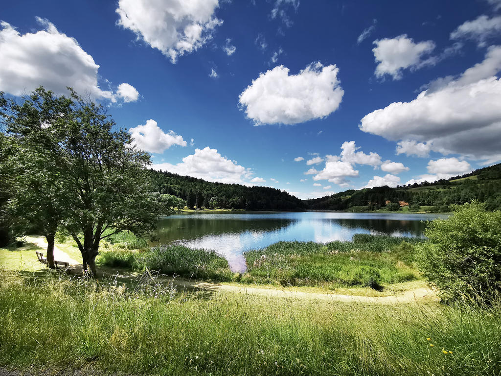
Near
Source des données
![]()
Données mises à jour le Mar 21, 2024 00:30:22


