Hiking: From the village of Péreyres to the Cascade du Ray Pic
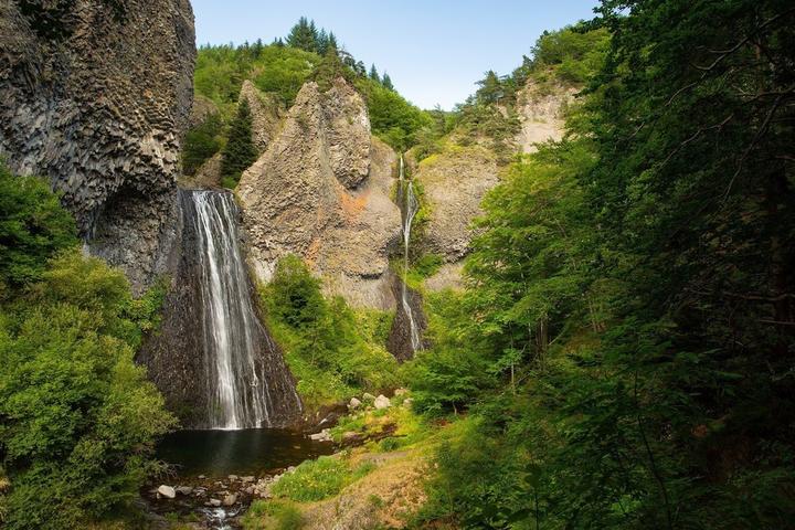
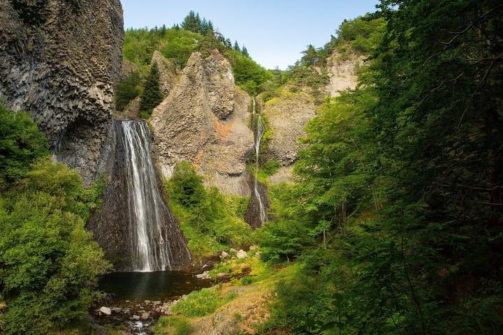
This out-and-back walk in the Péreyres commune takes you to the majestic Ray-Pic waterfall, a must-see volcanic site in the Ardèche! Most of the trail is in woodland, with several steps leading up to it.
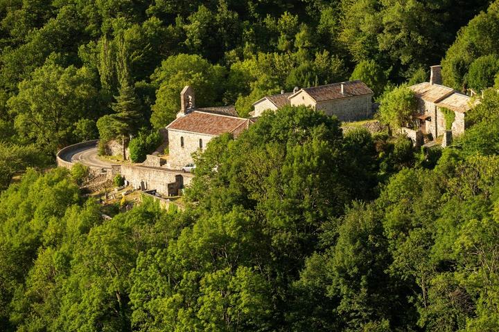
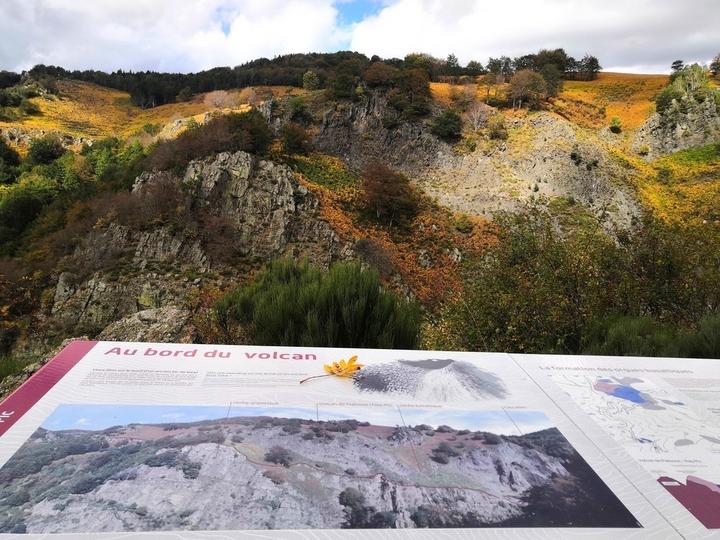
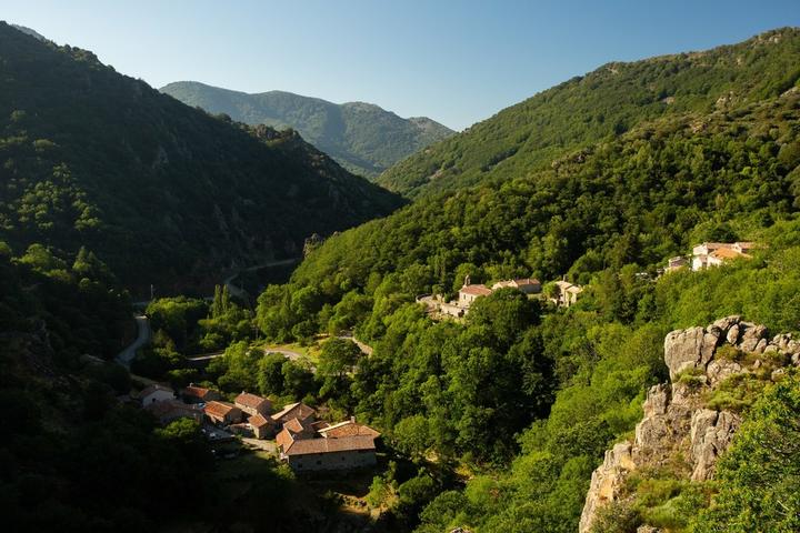
From the small village of Péreyres and its houses clinging to the mountain to the Ray-Pic waterfall you will take the GRP of the Haute Cévennes Ardèche. Beyond its beauty, the Ray Pic waterfall is also known as an exceptional volcanic site, classified as a Geosite by UNESCO. The basaltic flow at Ray-Pic extends over 20 kilometres, one of the longest in Europe. It is a small landscaped path that leads you to different wooden terraces overlooking the waterfall. Breathtaking!
Departure/ Arrival: Place du Village
~~~~~~~~~~~~~~~~~~~~~
➤ Departure of the sign «INFO RANDO» place of the village.
Follow the sign Lachamp-Raphaël 8,8km. Climb the calade. Opens to you a superb panorama of the valley of Bourges and a beautiful view overlooking the village of Péreyres.
➤ Merge onto RD 215, turn left to the hamlet of Chabron.
➤ Pass the hamlet and follow direction Poteau Ray-Pic 4km. Continue on RD 215 until the Ray-Pic bridge.
➤ Cross the bridge and take the path on the left that winds through the woods to the Ray-Pic parking lot.
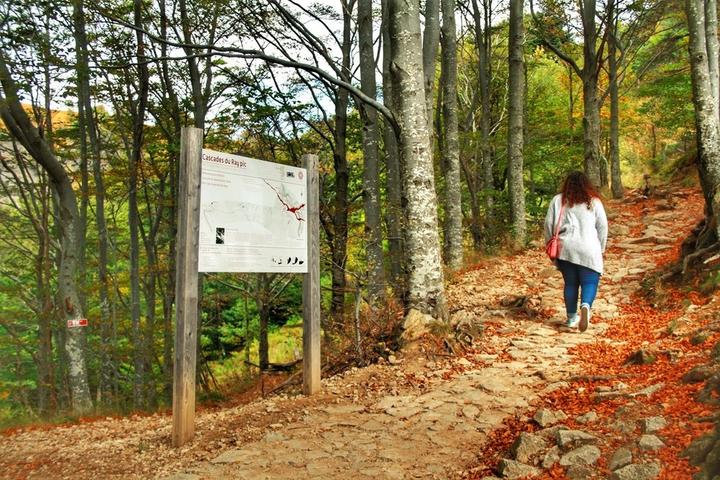
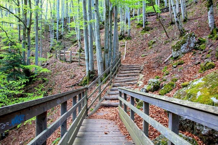
➤ Descend (15mn) by the path through the beech trees and the blueberry moors to the Ray-Pic waterfall. Direct access to the river and swimming are strictly prohibited.
The return to Péreyres is done by the same way.
The loop is marked with yellow and white paint.
Attention swimming at the foot of the Cascade is strictly prohibited.
Services
Pets welcomeRubrique
SportActivites
Pedestrian sportsHiking itinerary
Gratuit
YesNear
Source des données

Données mises à jour le Mar 21, 2024 00:30:28


